
Paddling Washington’s scenic rivers and bays is a cherished pastime, and Washington’s water trails make it easy to find the perfect route. These Washington water trails are specifically designated for kayaks, paddleboards, canoes, and small sailboats and can be found across the state, from northeastern Pend Oreille County to the southwest coast.
The Washington Water Trails Association has been working for years to protect waterways for public use by human-powered watercraft so visitors can experience rugged coastlines, sparkling urban bays, forest-lined rivers, and more. With so much diversity, there’s something for every taste and skill level.
Guide to Washington Water Trails
Lakes-to-Locks Water Trail
Length: About 130 shore miles
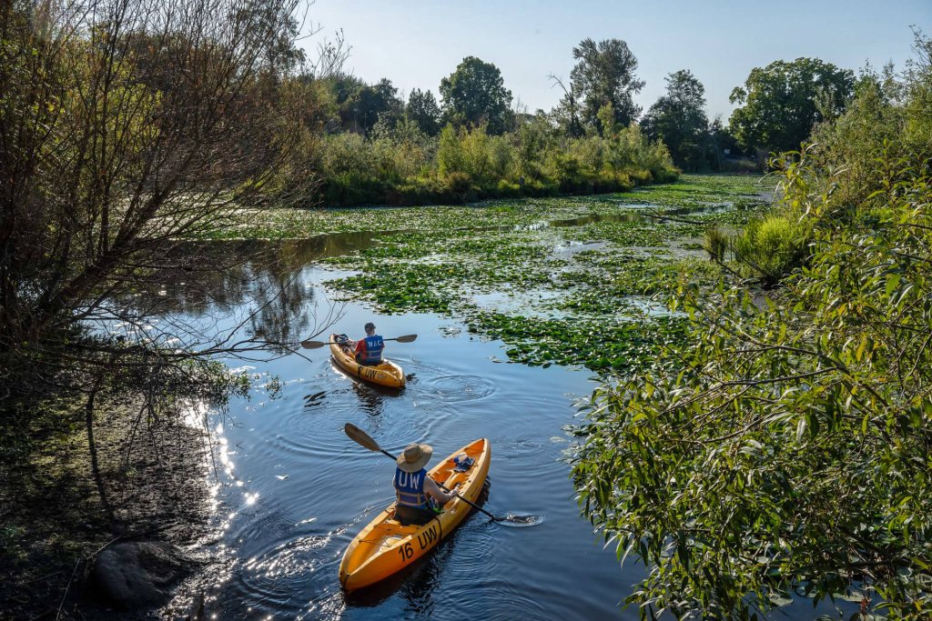
The Lakes-To-Locks Water Trail includes 100+ day-use water access points, providing a unique and beautiful way to explore the greater Seattle area. Paddlers can adventure along the shoreline from Lake Washington and Mercer Island to the Sammamish River. While tranquil coves, sloughs, and natural areas can be found along the trail, suburban enclaves, urban industry, and towering skylines also mark the route, allowing trail users to experience the many facets of Washington’s urban core.
Rent paddle boards and kayaks from Aqua Verde Paddle Club on Lake Union, or take one of their guided tours, like the Moon Tour night paddle or the Arboretum Photo Tour, which explores the Washington Park Arboretum and Portage Bay.
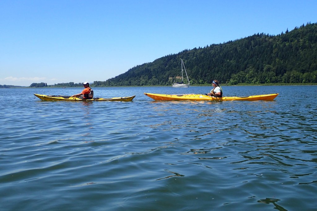
Also See: Best Places for Kayaking in Washington
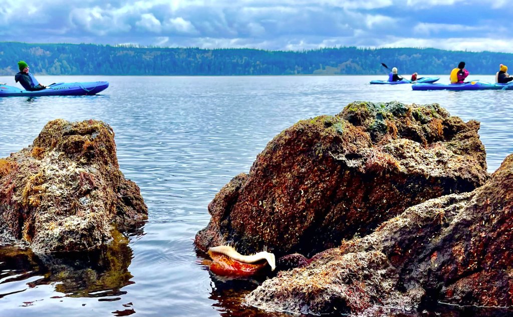
Cascadia Marine Trail

Length: About 2,500 shore miles
One of only 16 National Millennium Trails, the Cascadia Marine Trail navigates some of the most spectacular scenery in the Salish Sea. It weaves through the interconnected waterways of Puget Sound, the Hood Canal, and around the San Juan Islands. As the largest Washington water trail, the options for single or multi-day trips are almost limitless. With snow-capped peaks on the horizon, rugged forested coastline, and sheltered estuaries rich with wildlife, it’s hard to go wrong. While paddling, keep an eye out for pods of orca whales.
For a guided adventure, Discovery Sea Kayaks leads multiple guided trips, from evening bioluminescence tours to multi-day camping paddles around San Juan Island.
If you’re choosing your own adventure, check out this virtual map to find more than 200 camping and day-use areas designed to accommodate non-motorized, beachable boats.
Also See: Guide to Whale Watching
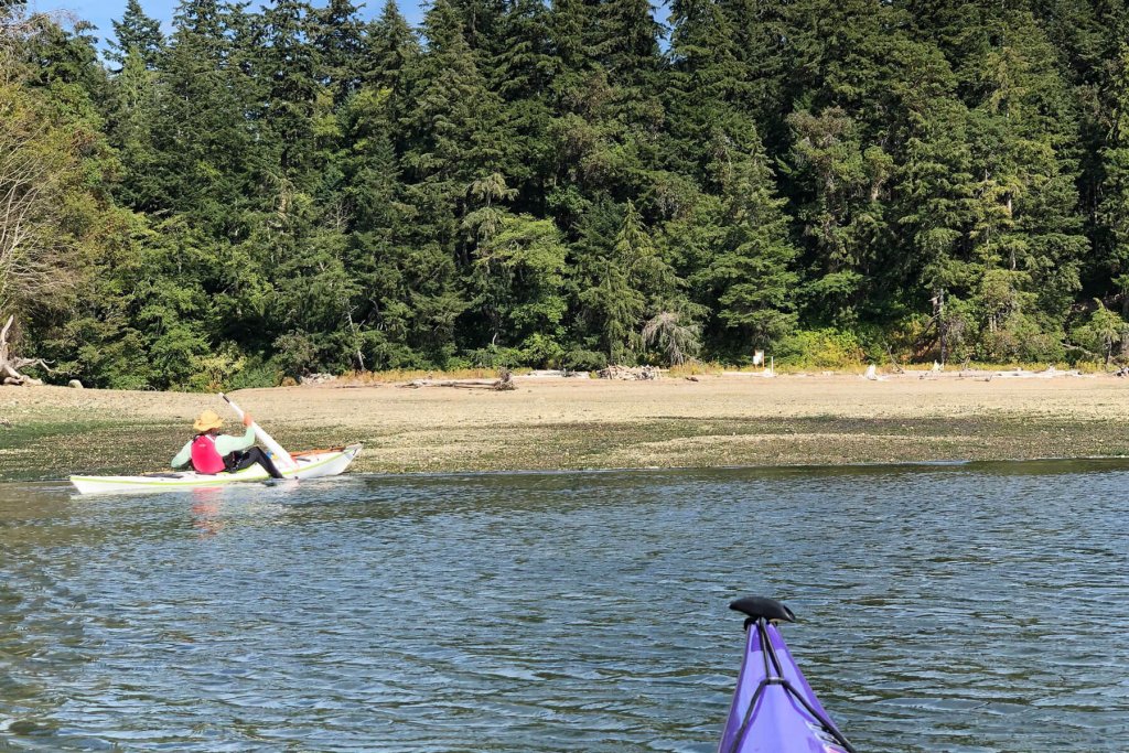
Kitsap Peninsula National Water Trail
Length: About 341 shore miles
The Kitsap Peninsula National Water Trail is the only Washington water trail in the National Water Trails System and explores the peninsula’s passages, islands, inlets, bays, and canals. Visit charming waterfront communities like Port Orchard and Port Gamble, or explore the Hood Canal. A handy interactive map details the launch sites, state parks, camping areas, and other watercraft-specific amenities.
For a guided adventure, Hood Canal Adventures, based in Brinnon, offers fantastic kayak tours themed around oyster shucking, crabbing, tidepooling, wildlife watching, bioluminescence viewing, and estuary habitats.
Also See: Tide to Table: Where to Harvest Shellfish
Willapa Bay Water Trail
Length: About 140 square miles
Located in Southwest Washington, the Willapa Bay Water Trail tours one of the largest river estuaries on the Pacific Coast. Willapa Bay is protected from the ocean by the Long Beach Peninsula and makes for spectacular paddling. Cruise past grasslands, pine forests, scenic beaches, tidelands, and Willapa National Wildlife Refuge.
This Washington water trail is a stopover region for hundreds of thousands of waterfowl and shorebirds; watch for the endangered western snowy plover and marbled murrelet. There are only two camping options: Long Island and the Tokeland Marina. Rent kayaks from Willapa Paddle Adventures for a self-guided adventure.
Travel Tip: When planning a visit to this water trail, it’s essential to be aware of the tides. Half of the water in the bay retreats at low tide, leaving mudflats that can strand paddlers if they are caught by surprise.
Also See: Discover Washington’s Wildlife Refuges
Pend Oreille River Water Trail

Length: About 70 shore miles
The Pend Oreille River Water Trail follows the river from Oldtown, Idaho, into northeastern Washington, stopping just short of British Columbia at the Boundary Dam. The Pend Oreille River is punctuated with dams and winds through remote landscapes of forests, waterfalls, and rocky outcrops. Paddle through the LeClerc Wildlife Area and watch for raptors, elk, and even grizzly bears. Anglers can turn this Washington water trail adventure into a multi-day trip with overnights at fishing-focused resorts like Eagle’s Landing RV Resort and Ruby Creek Resort.
Travel Tip: Download these handy maps from Pend Oreille County. The maps divide the water trail into three sections and outline access points and amenities like campsites and restrooms.
Tapteal Water Trail
Length: About 31 shore miles
A treasured destination in the Tri-Cities area, the Tapteal Water Trail follows the Yakima River, beginning at Kiona Bend in Benton City and ending at Bateman Island in Richland. Although this is the shortest Washington water trail, this section of the river is known as one of the most diverse, scenic, and biologically productive water systems in the Pacific Northwest. The watershed runs through shrub-steppe and wildlife-rich marshlands that are home to bird species such as great blue herons.
Rent watercraft from Bateman Island Kayak & Canoe. They’ll drop off and pick up rentals from the Bateman Island launch for a half-day adventure, or for longer rentals, they drop off and pick up at any of 10 launches along the water trail.
Northwest Discovery Water Trail
Length: About 367 shore miles
The Northwest Discovery Water Trail is a great choice for history buffs, as it follows the path of Lewis and Clark’s Corps of Discovery and tours important Native American homelands and waterways. Along the route, paddlers can stop at museums and visitor centers to enrich their journey. In Stevenson, the Columbia Gorge Museum has exhibits on everything from Native American culture and history to the early steam industry. Find the Sacajawea Interpretive Center in Pasco and learn about Sacajawea’s pivotal role in history.
While the trail begins in Idaho, most of the route follows the Snake and Columbia rivers in Washington, ending at Bonneville Dam (the starting point for the Lower Columbia River Water Trail). You’ll find 150 sites for launching, relaxing, and camping, as well as wildlife refuges and parks. The coves, islands, and wetlands of the Umatilla Wildlife Refuge are a birdwatcher’s dream. On the whole, expect spectacular scenery, from the basalt cliffs of the mighty Columbia River Gorge to the tawny desert hills of Eastern Washington.
As with the Tapteal Water Trail, head to Bateman Island Kayak and Canoe in Richland to rent kayaks, paddle boards, canoes, and more.
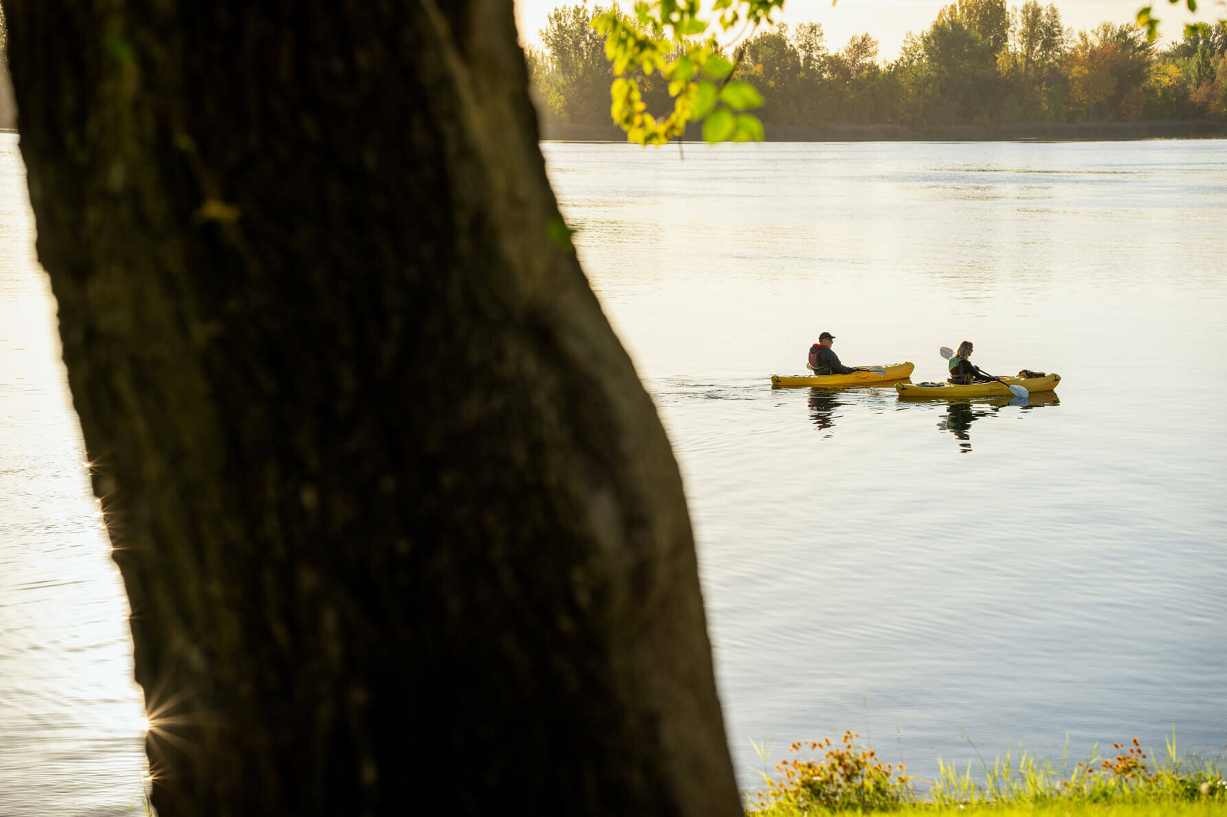
Lower Columbia River Water Trail
Length: About 146 shore miles
Heading west from the Bonneville Dam, the Lower Columbia River Water Trail passes wetlands, beaches, industrial marine parks, and river islands on its journey to the Pacific Ocean. As the Columbia collides with the sea, it forms the massive Columbia River Estuary, home to abundant wildlife and an essential site for migratory shorebirds.
North of Vancouver, WA, Alder Creek’s Ridgefield Kayak Rentals offers rentals and guided tours. Nature lovers can join the Columbia River Water Trail Wildlife Kayak Tour, which winds through the Ridgefield National Wildlife Refuge. Sunset paddles are also available.
Also See: Gorge to Coast Road Trip Itinerary
About the Author
Ellee Thalheimer is a freelance writer and guidebook author based in the Pacific Northwest who has contributed to publications like Lonely Planet Guidebooks, Alaska Airlines Magazine, and Adventure Cyclist Magazine. When she can’t get outside, she writes fiction, drinks local IPAs, and perfects her handstands.
Featured Image Credit: Moondance Sea Kayak Adventures