
Getting to & Around Washington
Navigating a new destination can feel overwhelming, but Washington has plenty of transportation options to help you move around the state. Whether you’re arriving by car, train, bus, or plane, here are some tips and resources to ensure you have a smooth trip.
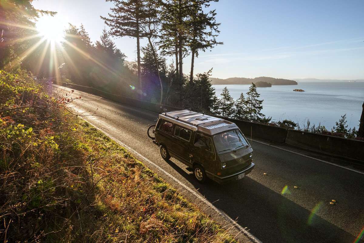
by personal vehicle
One of the best ways to experience Washington’s diverse landscapes and attractions is by car. For those who don’t plan to drive their own vehicle, car rental services are widely available. You can expect to find major national companies such as Enterprise, Hertz, and Alamo at Seattle-Tacoma International Airport and most other airports.
EV Charging Stations: Hitting the open road in an electric vehicle is easy thanks to Washington’s extensive network of public charging stations. The Alternative Fuels Data Center offers a handy map where you can view locations throughout the state.
Traveling from Canada? View border crossing locations, wait times, and requirements.
Find real-time traffic alerts, travel times, mountain pass reports/cameras, and more on the Department of Transportation website.
By plane
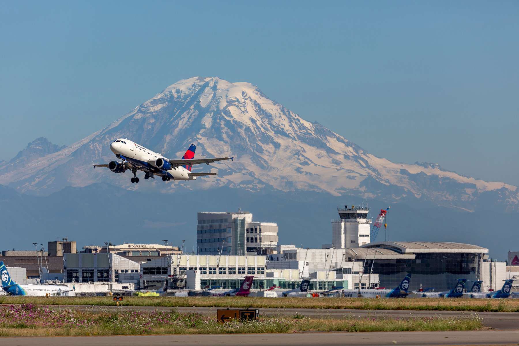
Most travelers arriving by plane will land at Seattle-Tacoma International Airport (SEA), which is served by most major international and domestic carriers. Connections are available to other major cities throughout the state, including Spokane and Bellingham.
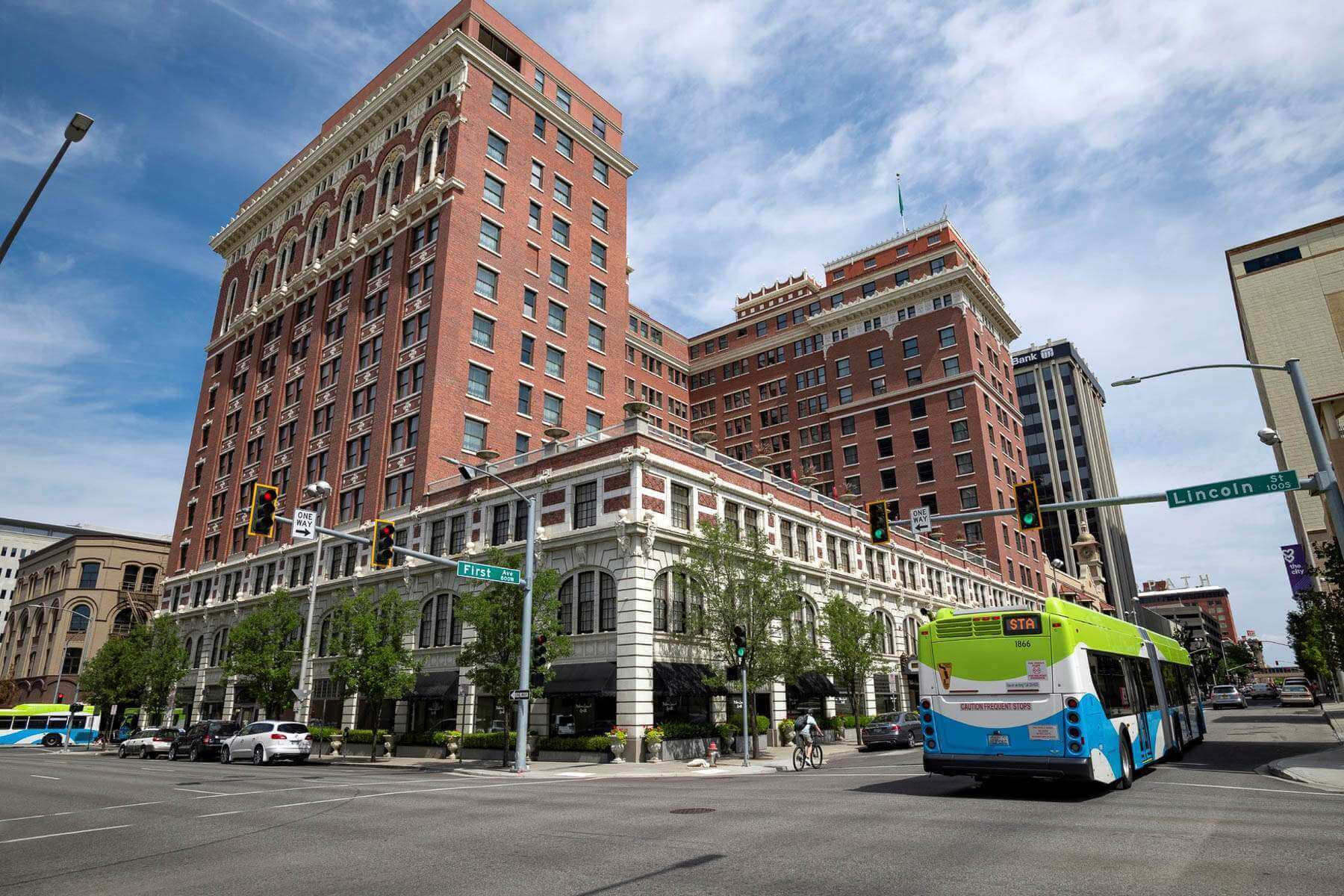
Spokane International Airport (GEG) serves Spokane, the second-largest city in the state. Located in Eastern Washington near the border with Idaho, the Spokane airport provides easy access to destinations on the eastern side of the Cascade Mountains. It is served by nine domestic carriers including Alaska, Delta, Southwest, and United.
Other smaller airports provide service within the state and across the country, making it easy to connect to a variety of destinations such as Wine Country east of the Cascades.
by train
Washington has 19 train stations served by Amtrak and three routes: Empire Builder, Coast Starlight, and Amtrak Cascades. The Empire Builder route runs from Chicago to Seattle, the Coast Starlight runs from Los Angeles to Seattle, and the Amtrak Cascades runs from Vancouver, British Columbia, and Eugene, Oregon.
By bus
Greyhound serves nearly 60 bus stations in cities throughout Washington, including Bellingham, Seattle, Spokane, Vancouver, Walla Walla, Port Angeles, and many others. You can search for bus stations by selecting Washington State in the destination search bar on Greyhound’s website.
Major cities also offer their own bus service, making it easy to explore once you arrive.
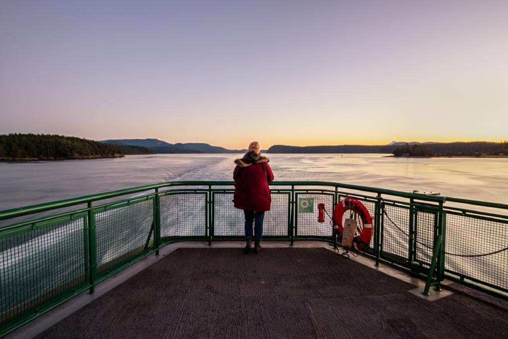
By Ferry
Washington State Ferries, the most extensive ferry system in the country, operates a fleet of vessels across Puget Sound and the greater Salish Sea. Popular routes include:
Visit the Washington State Ferries website for information on accessibility, reservations, tips for first-time riders, and more.
Other private and passenger-only ferries operate in the state as well. The Black Ball Ferry Line connects Port Angles with Victoria, British Columbia, while the Victoria Clipper offers passenger-only ferry service between Seattle and Victoria, British Columbia, and between Seattle and the San Juans (seasonal).
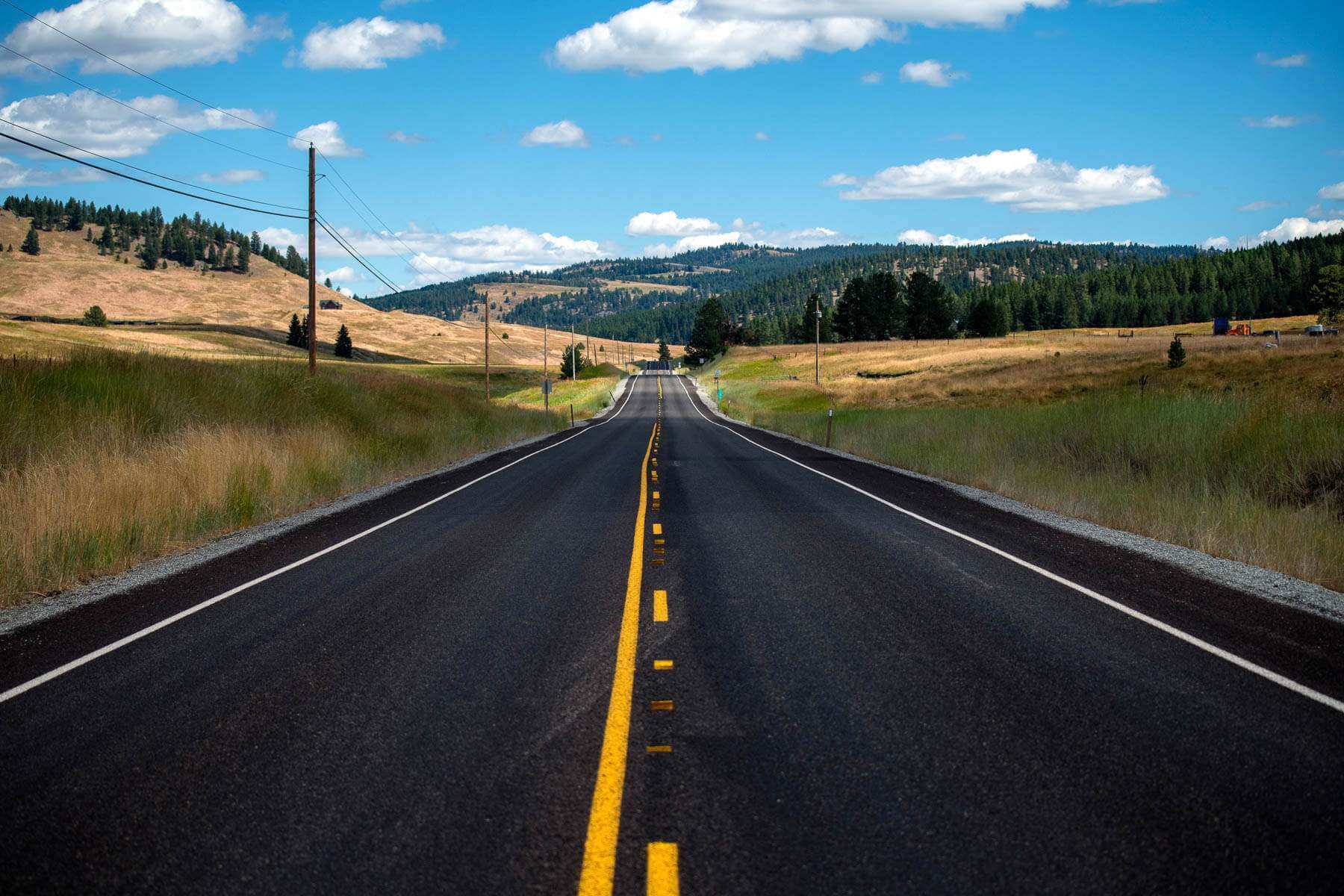
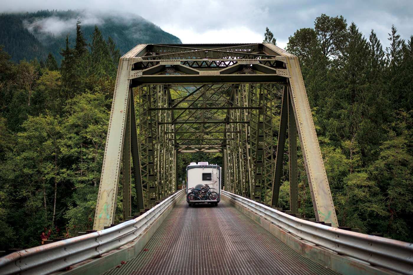
Highways
There are three primary interstates and four auxiliary routes that serve most major cities.
Interstate 90 (I-90) is the longest and runs east to west connecting Washington’s two largest cities, Seattle and Spokane.
Interstate 5 (I-5) is the only interstate spanning the state from south to north. It runs from Oregon through Seattle to the border with British Columbia.
Looking for a physical road map to guide your adventures? Order a good fold-out highway map complete with routes and brief descriptions of 29 office Scenic Byways.